Van Alen’s fall festival, Periphery, explores the evolving edges of the city. Here, urban planner and explorer Adam Tanaka presents his interdisciplinary methods for investigating the beauty and intrigue present in different cities’ limits.
For the past five years, I’ve been conducting photography and video projects documenting urban peripheries, trying to understand how these border zones help construct and constrain urban identity. Every time, I’ve defined that “edge” differently. After all, there are many kinds of borders: regulatory and jurisdictional, ecological and infrastructural, social and psychological. Sometimes these borders are elusive, a bureaucratic residue of earlier periods of land ownership and governance. Other times, these borders are impossible to miss: rail yards and bus depots; vacant parcels in legal or financial limbo; expressways crosscutting communities, lined with graffitied sound barriers. And remember, places that happen to fall on the edge of a map might just be the center of the world for the people who live, work and play there.
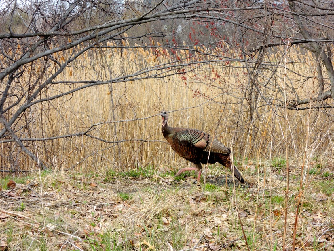
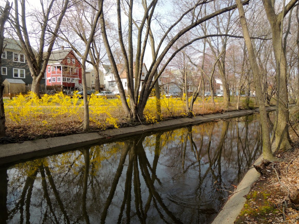
I find these border zones compelling because they reveal the inherently impermanent nature of urban spaces. While cities may often appear static, look to their edges and you’ll find strange accidents, unfinished plans, interim uses, and moments in process. These peripheral zones, with their low land values and jurisdictional ambiguities, operate as a sort of “urban subconscious,” subverting fixed notions of planning and design. They are spaces of potential, revealing a gap between what is and what could be. They remind us that cities really are ours for the making.
Paris Périph
In Paris, I defined the urban periphery in terms of infrastructure, walking the entire outer edge of the Périphérique Expressway that separates Paris from its neighboring suburbs. Constructed in the 1960s to improve circulation around and across Paris, the Périphérique (or “Périph” as it is known colloquially) has turned from pragmatic infrastructure to a fraught symbol of social, economic, and ethnic inequities in the Paris metropolitan area.
My two-day journey along the Périph took me across 21 distinct municipalities, from the wealthy western suburb of Levallois-Perret to the poorer, more ethnically diverse suburbs of Aubervilliers and Pantin to the northeast. The expressway seems to register these changes too, negotiating the social landscape by taking on different forms as it snakes around the city: ducking underground as it passed through more affluent areas; running at grade along Paris’s southern, more industrial edges; and rising as a smoggy concrete wall between Paris and the poorer suburbs to the northeast.
SpiraLondon
In the case of London, I initially defined the urban periphery in ecological terms, conducting a 100-kilometer spiral walk through the city that ended at the Thames Barrier — a demarcation between the man-made city and the unruly tidal forces that threaten to sweep it away. Rather than an analysis of urban form, though, the project became primarily a social study. This shift was inspired by a conversation I had with a stranger early in my walk, who told me that “it’s not London that’s changed, it’s the people moving through it.”

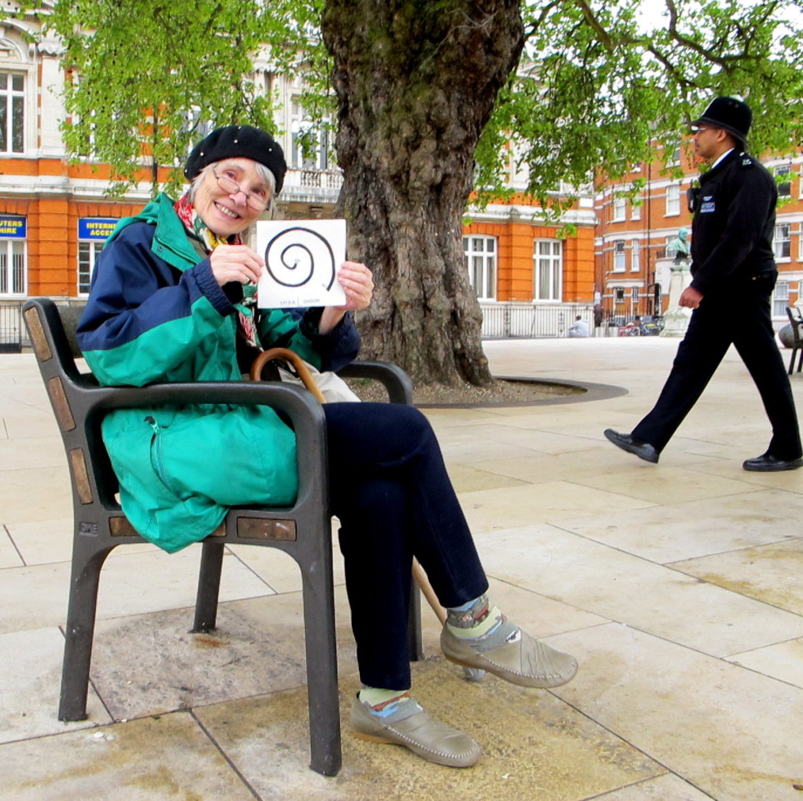
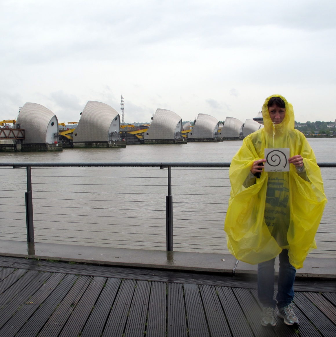

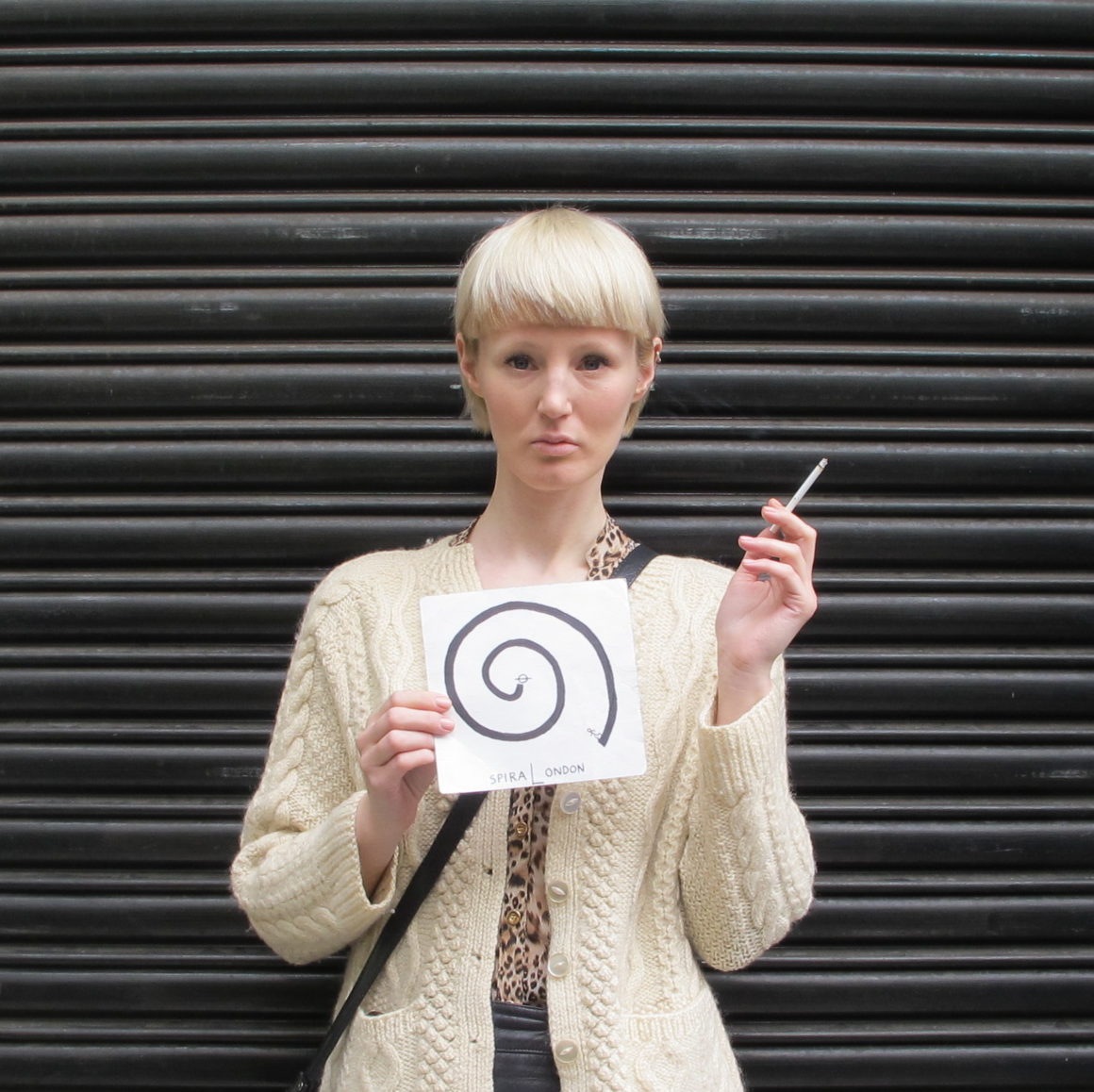
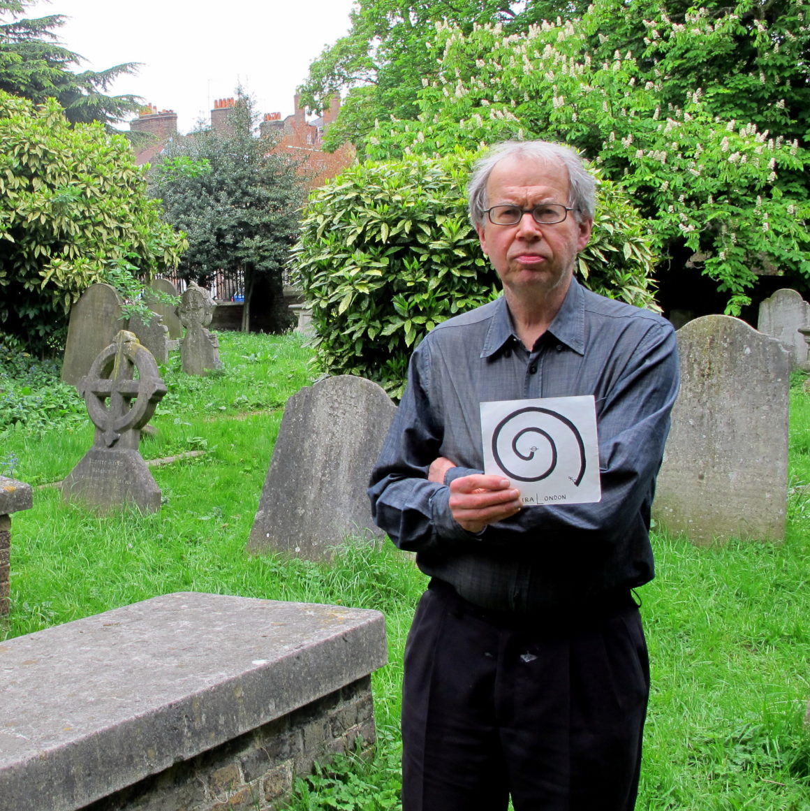
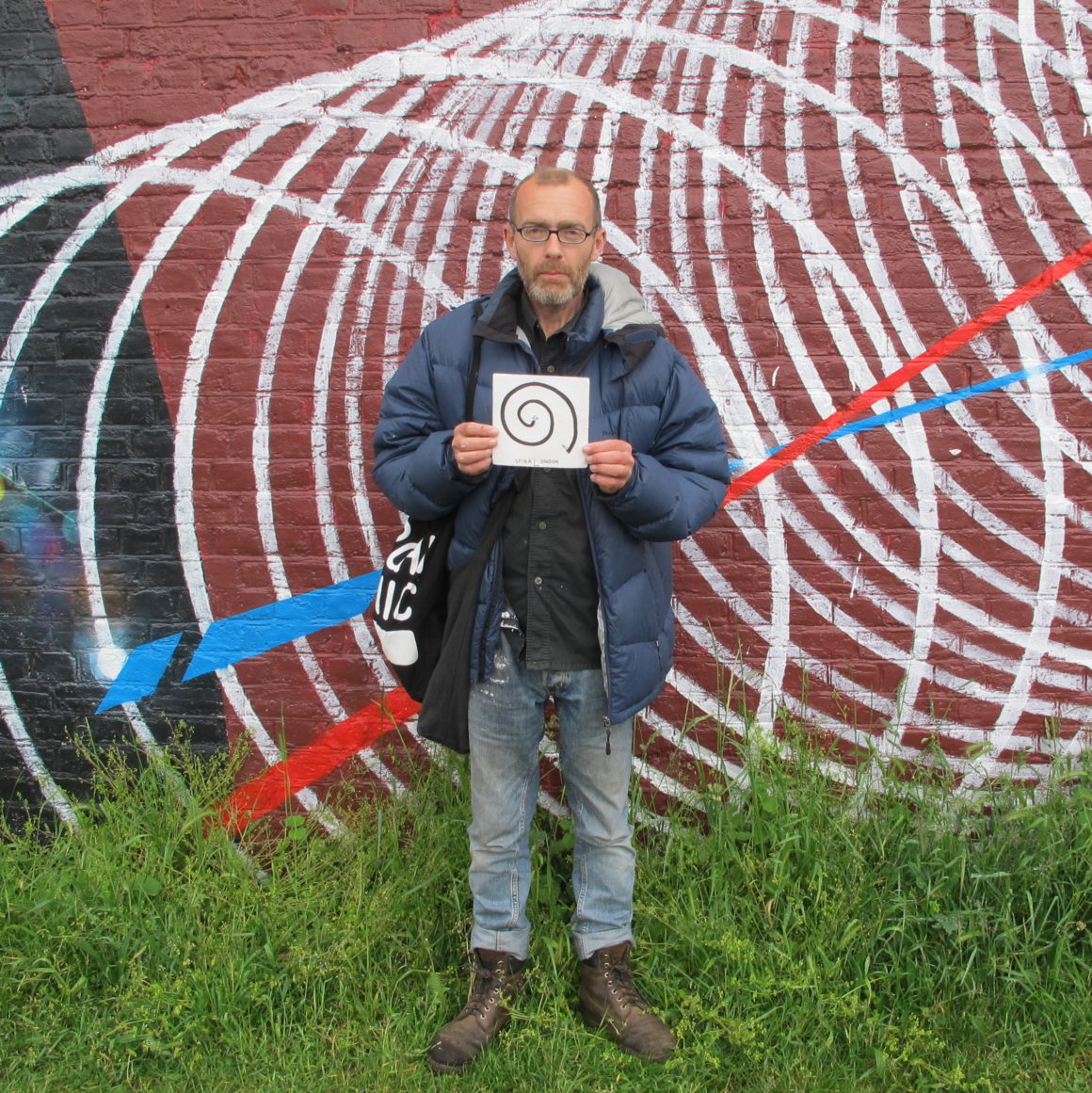
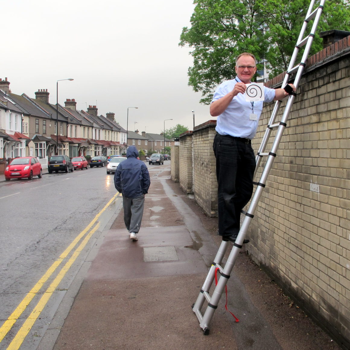
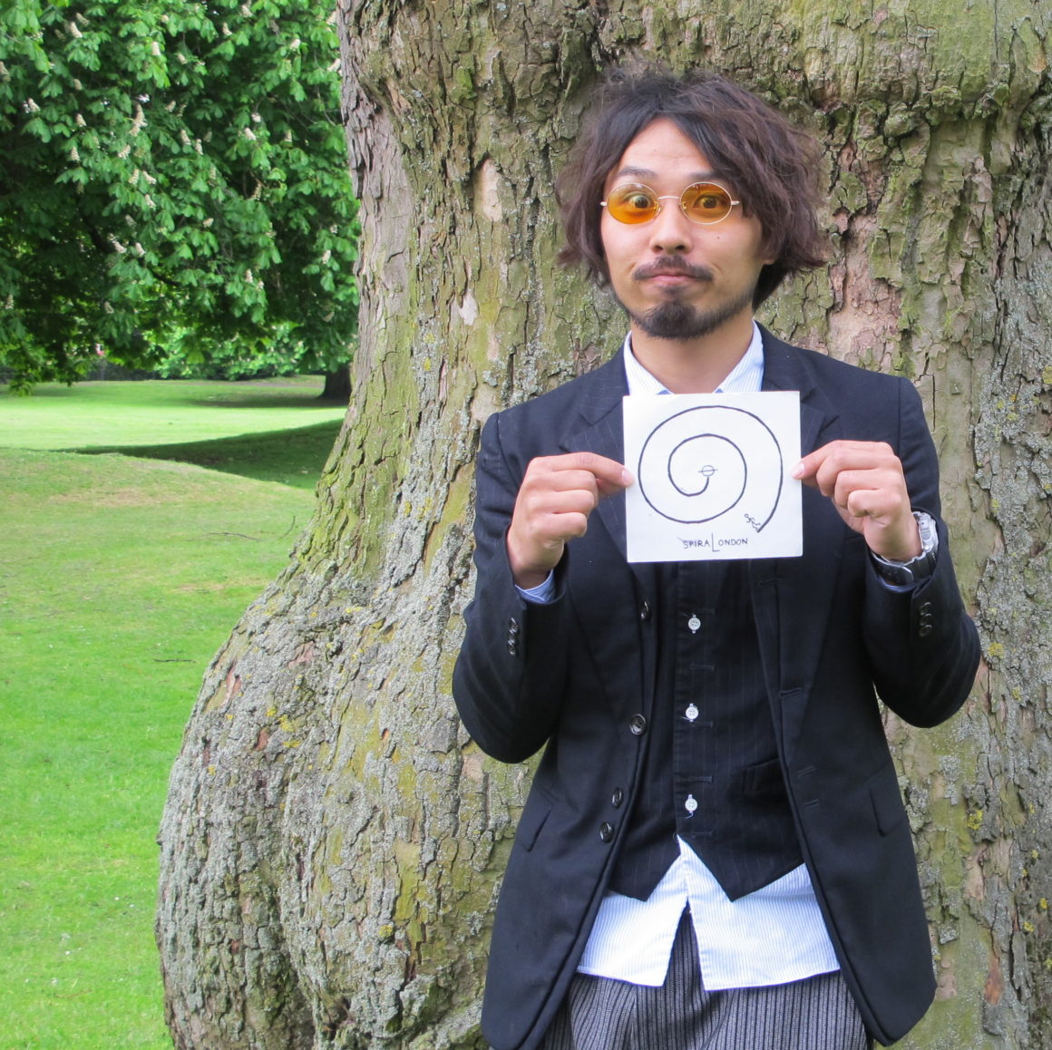
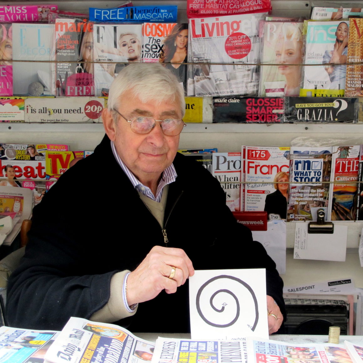
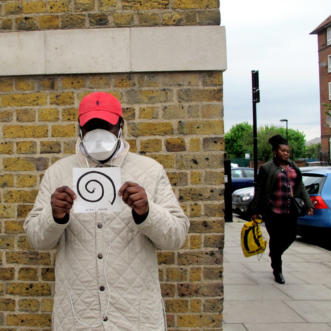
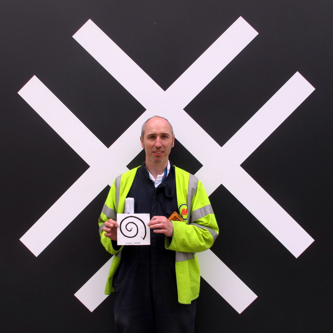
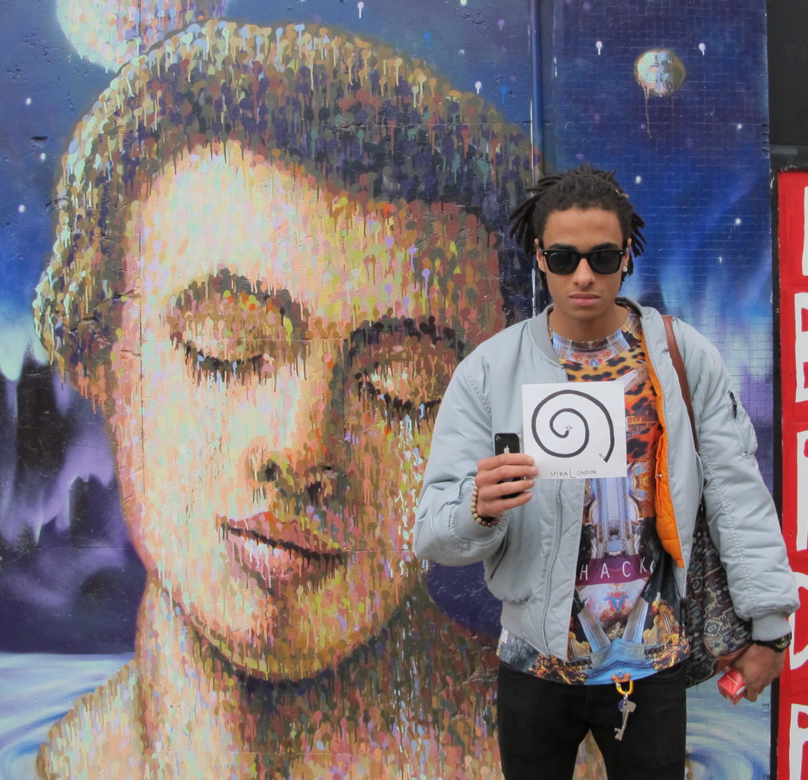
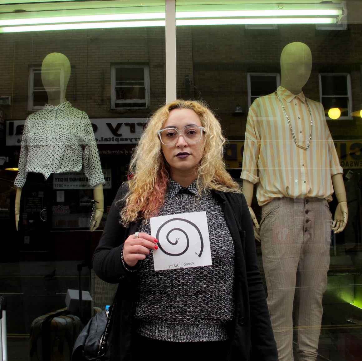
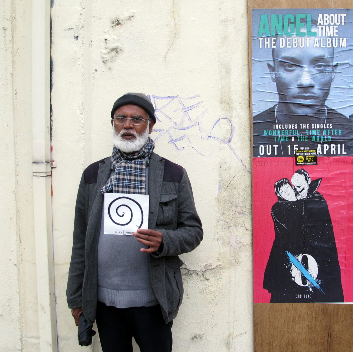
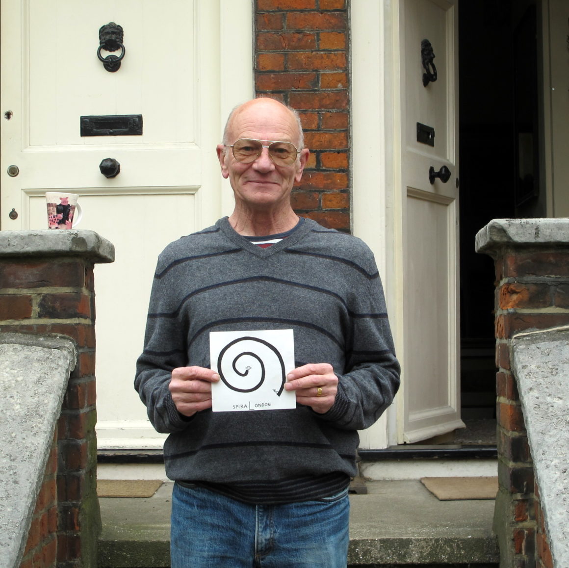
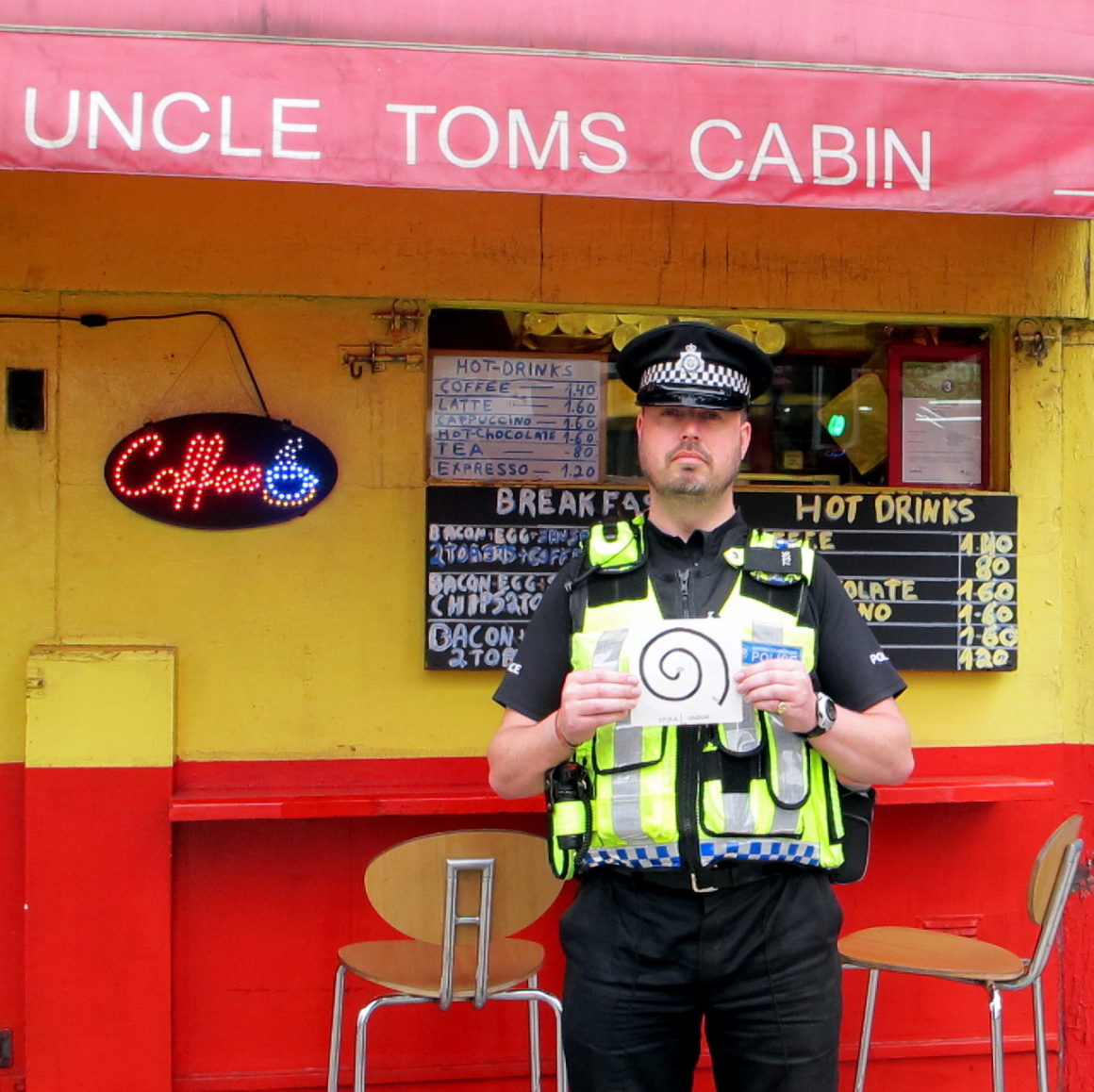
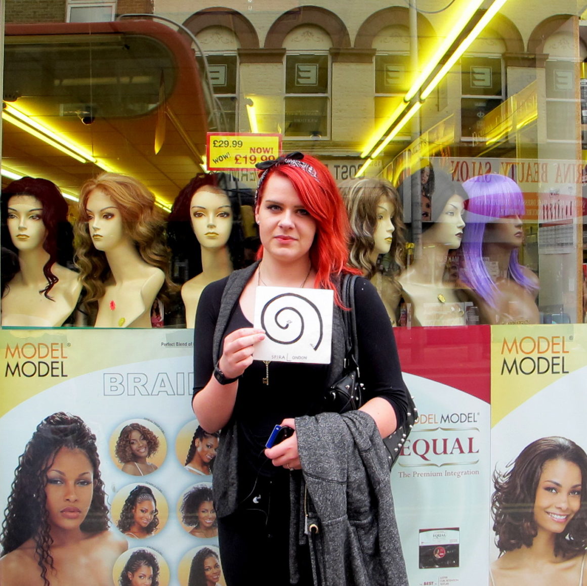
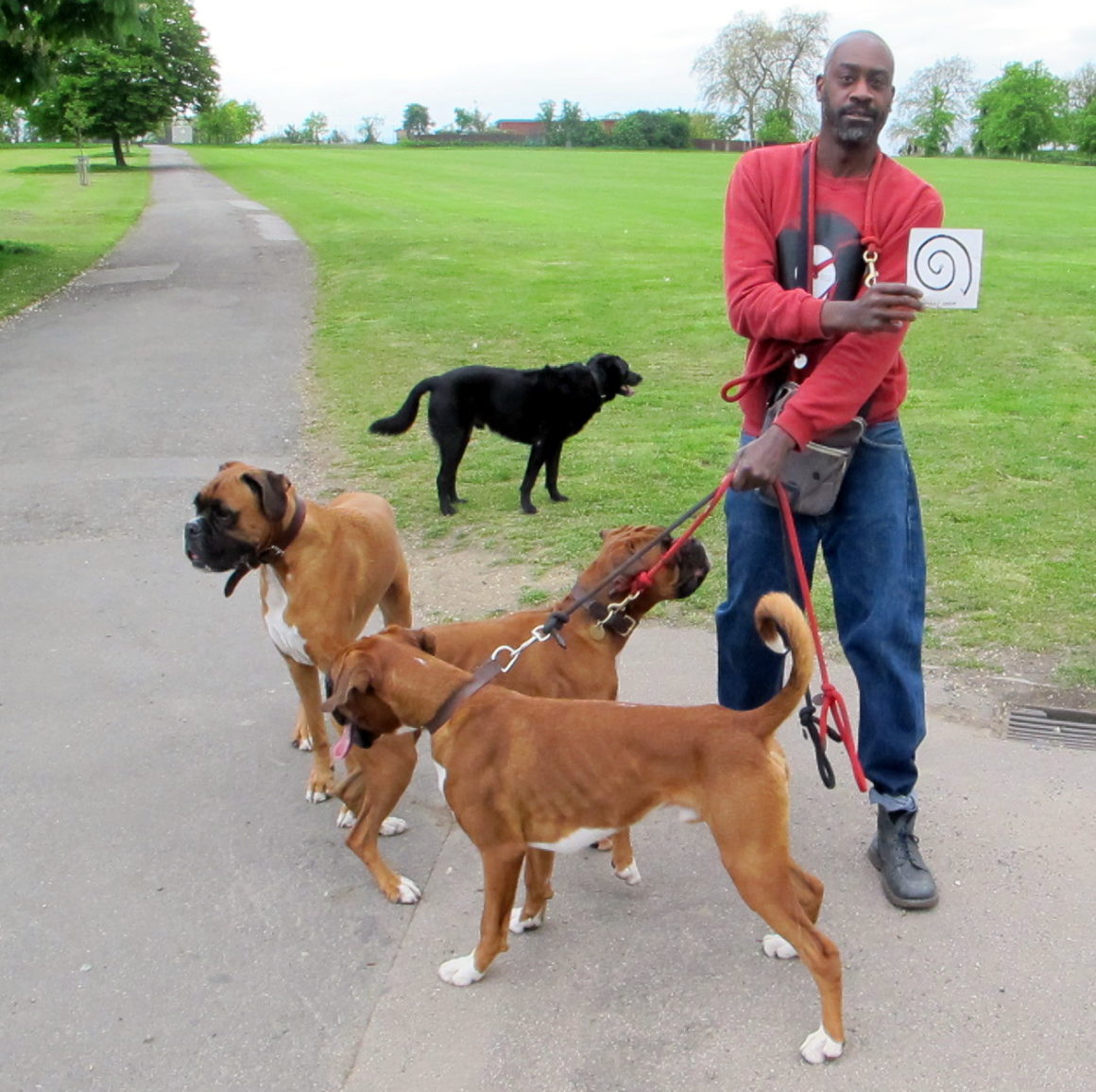
As I wandered through the city, I took photographic portraits of people I met along the way, documenting Londoners from the urban core to the urban edge. The project, which you can read more about on the SpiraLondon website, took me along numerous peripheral zones of the city, from a tunnel under the Thames to an old sewage line transformed into pedestrian greenway.
Cambridge City Limits
In Cambridge, Massachusetts, I focused on jurisdictional boundaries, tracing the often-invisible municipal border between the city and its many neighbors. I spent three years living on the boundary between Cambridge and Somerville, another city in the Boston area, but for two of those years I barely noticed I was crossing between cities on a daily basis.
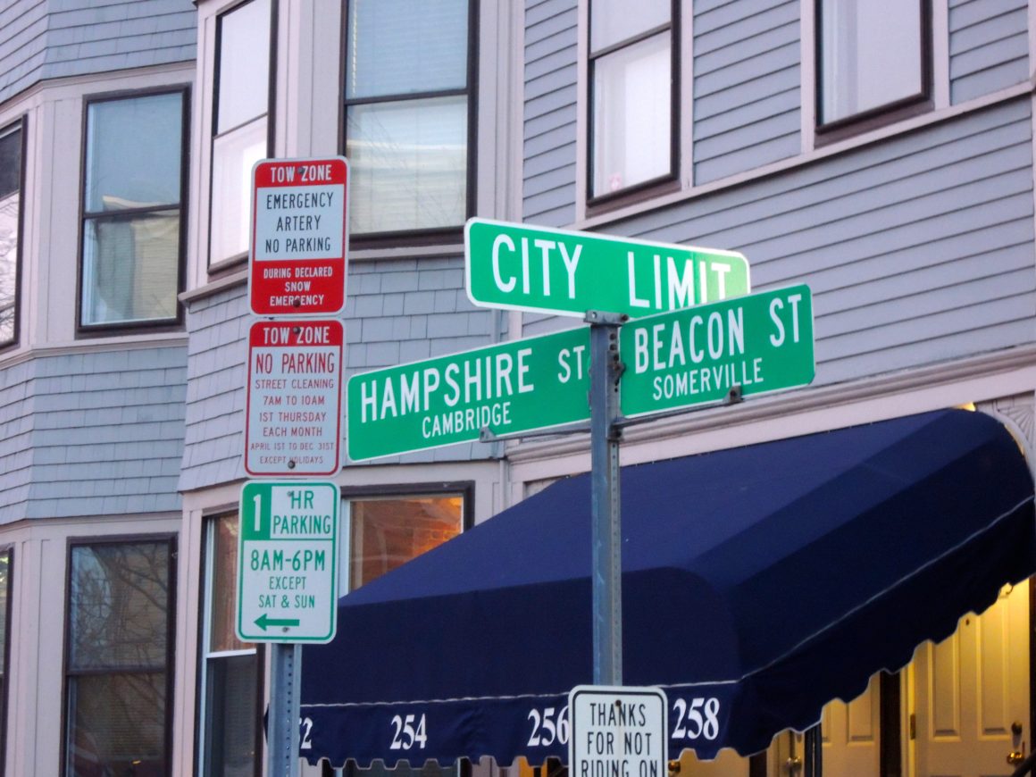
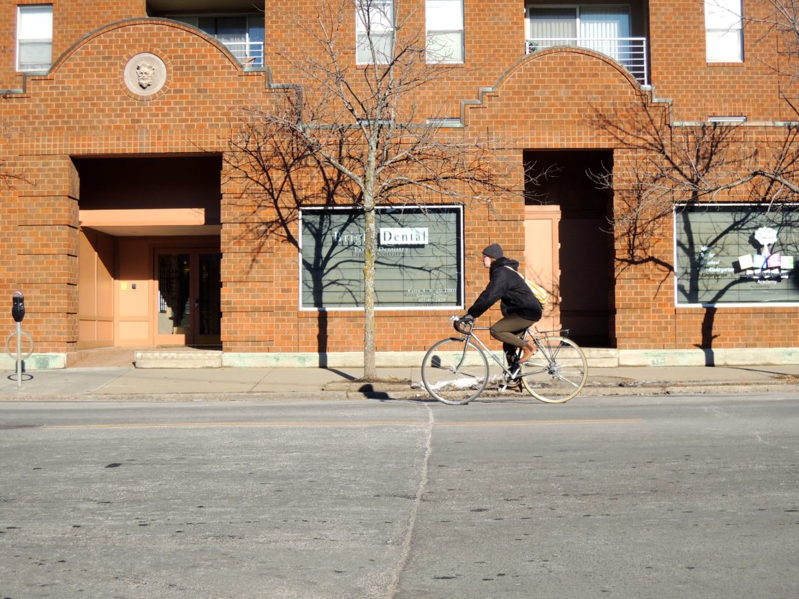
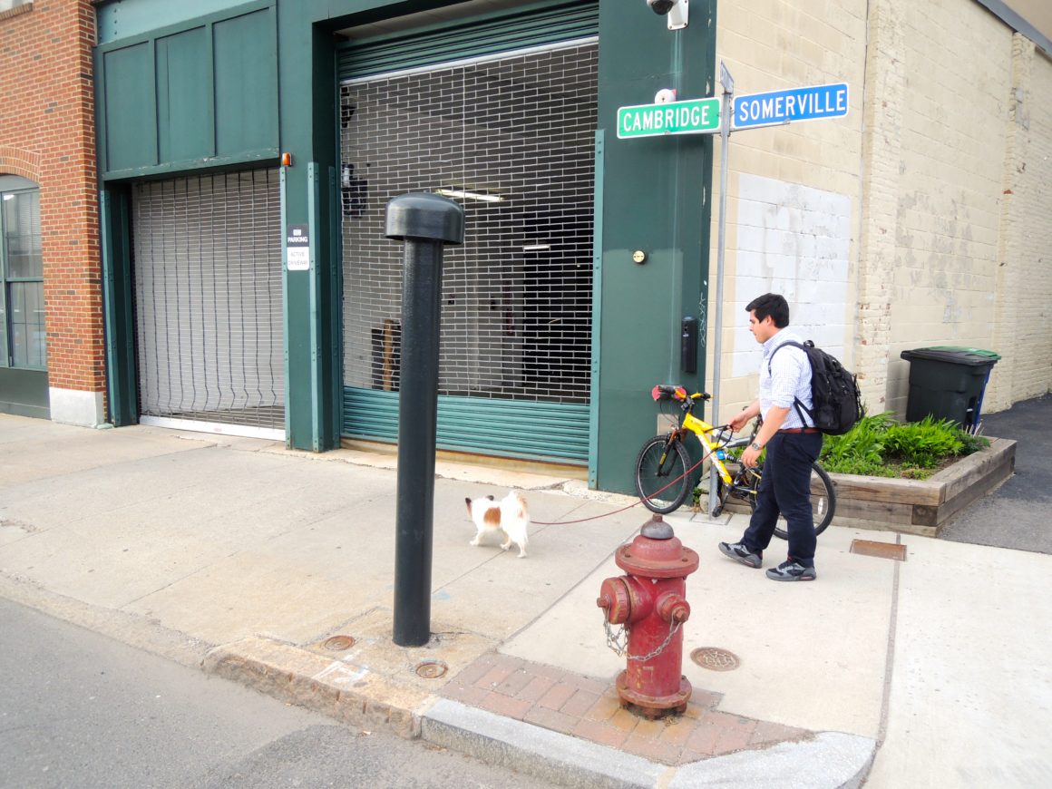
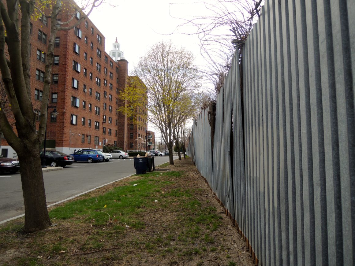
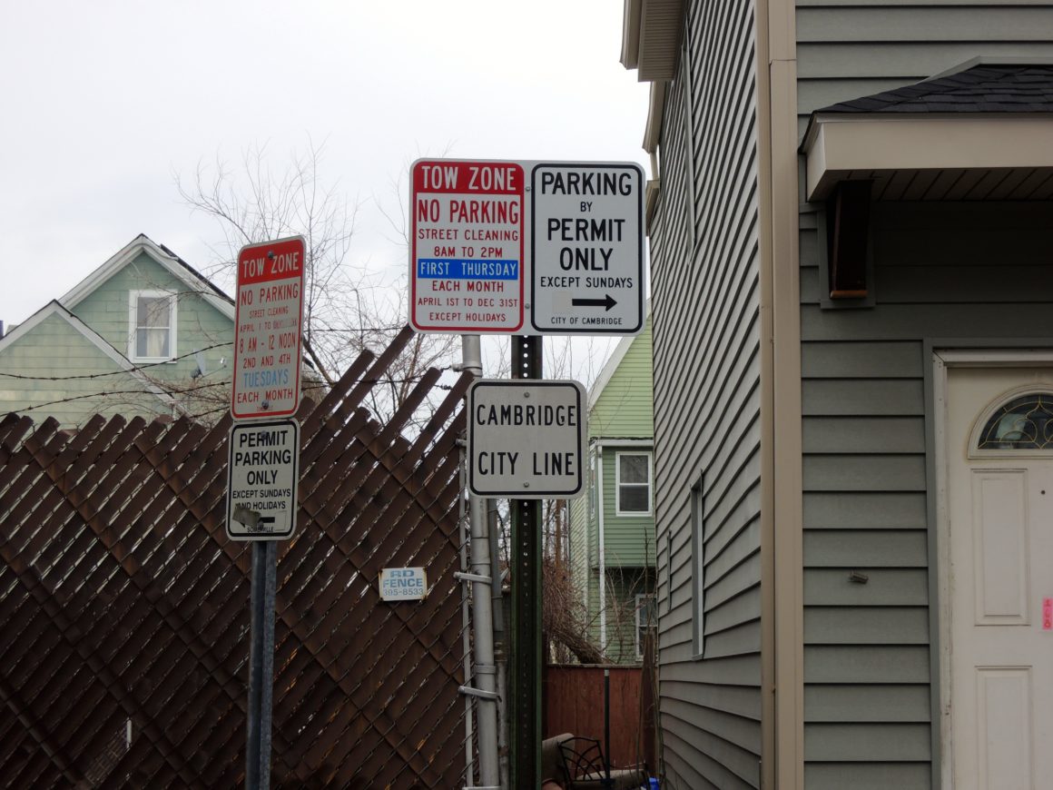
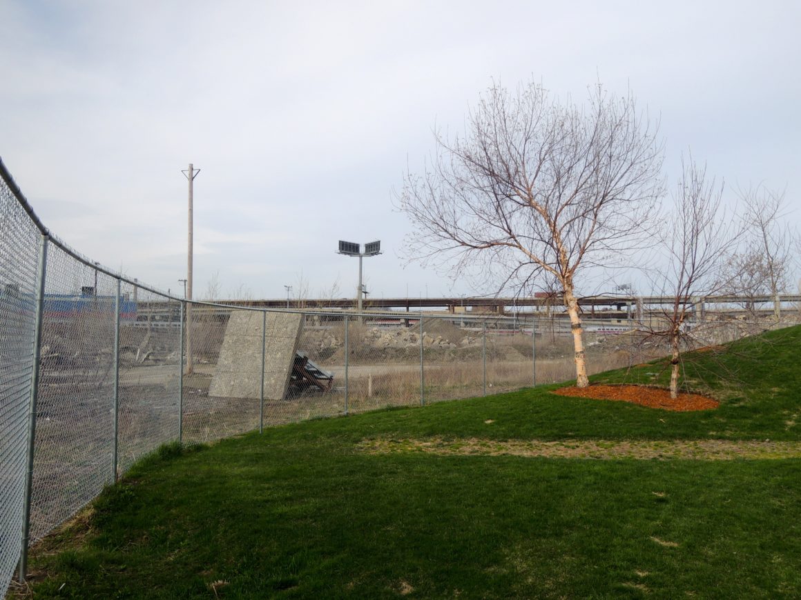
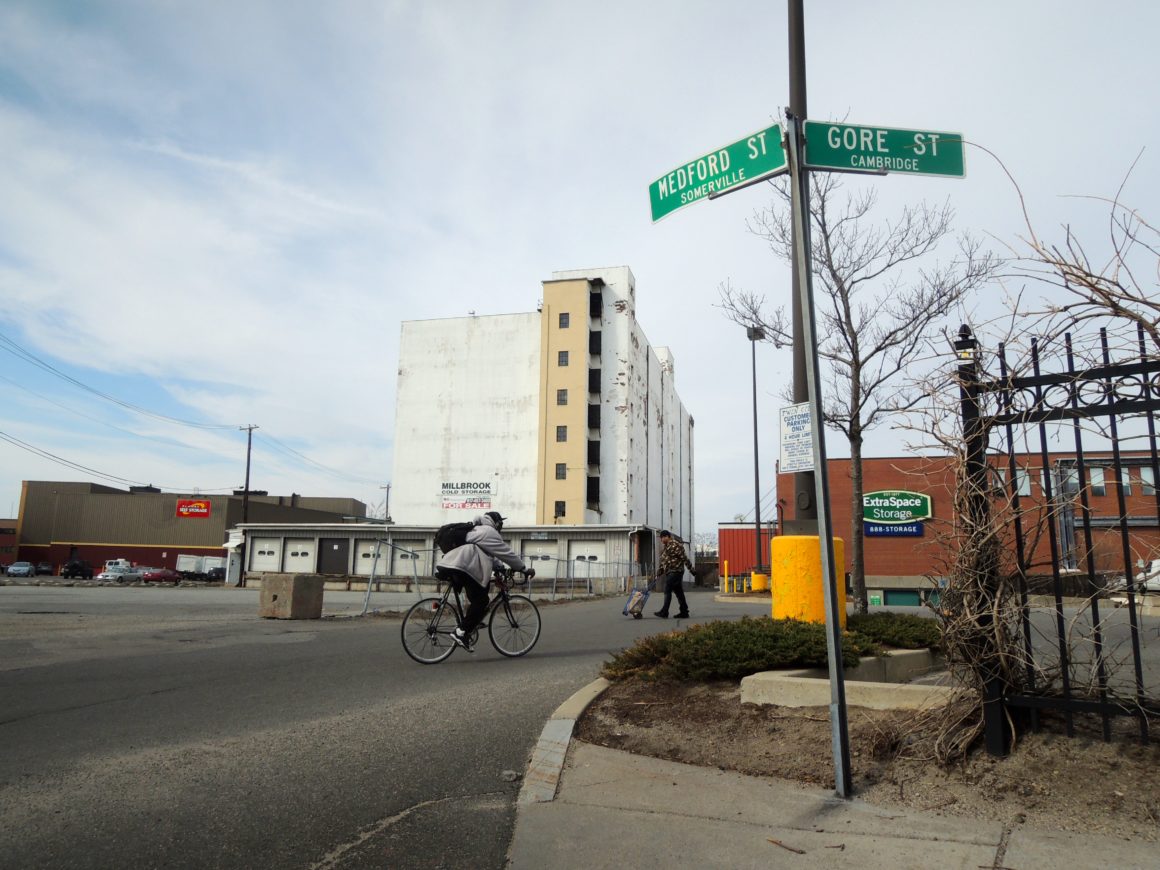
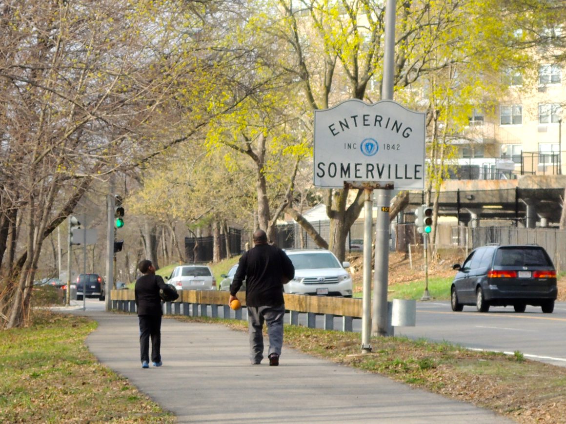
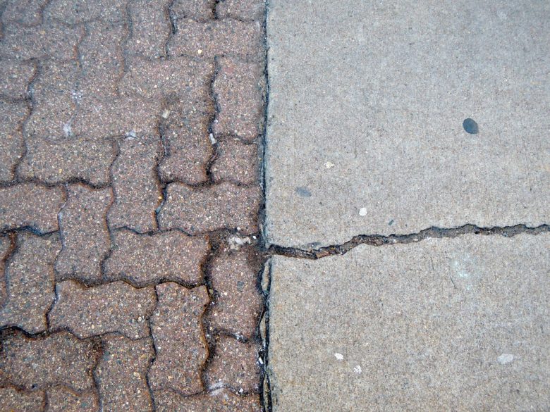
One day I noticed a strange line in the road, separating two hues of asphalt. Suddenly I realized that this subtle material shift was a jurisdictional boundary, the point where Cambridge’s Department of Transportation ceded authority to Somerville’s. Looking down at the sidewalk, I noticed different types of paving; poured concrete on one side, bricks on the other. Then I noticed how the street signs above me changed from green to blue as they passed from one city to the next. Documenting these changes — occasionally obvious, more often obscure — formed the basis of a project that took me along the edges of Cambridge and its five neighbors.
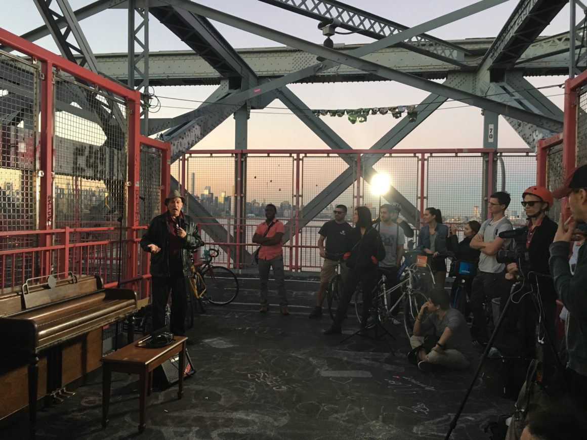
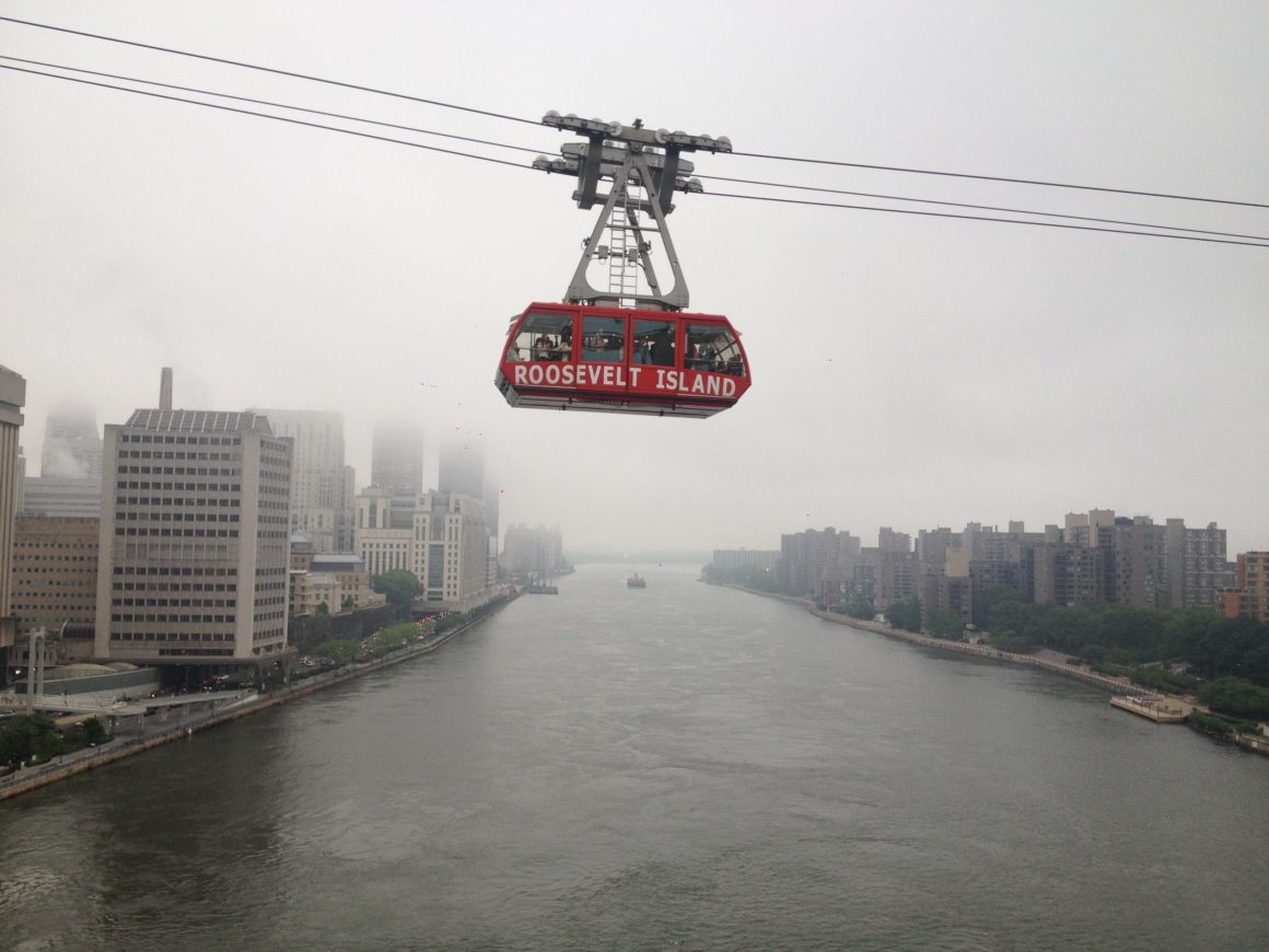
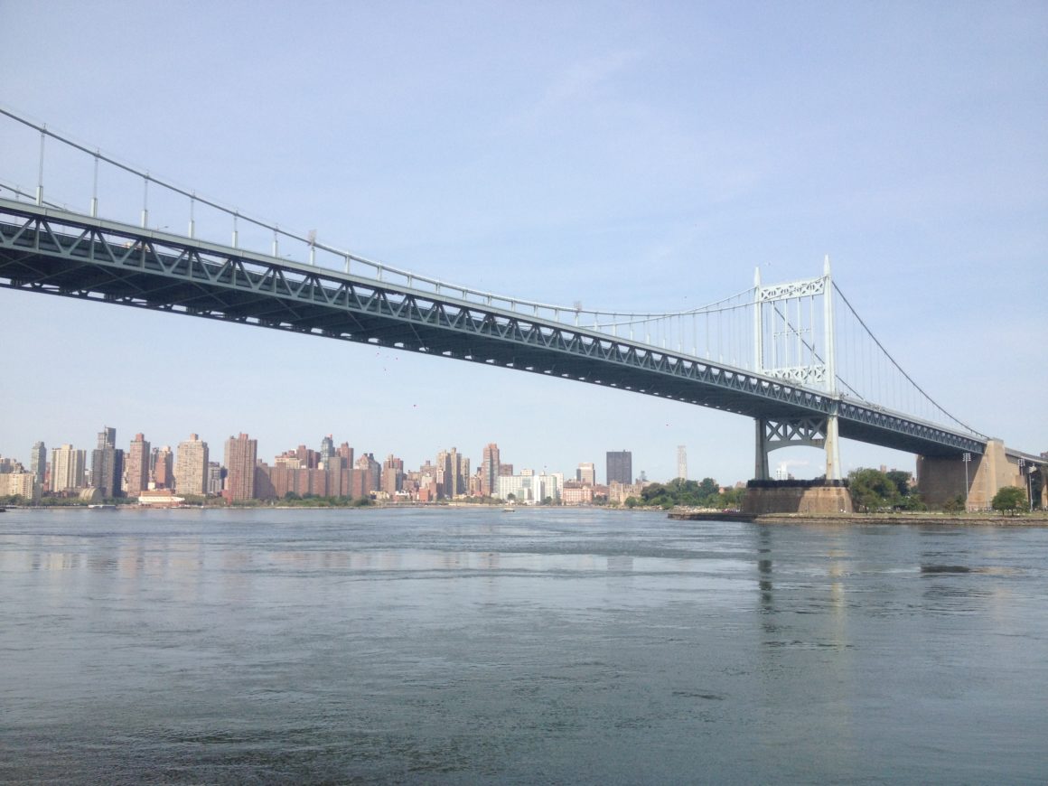
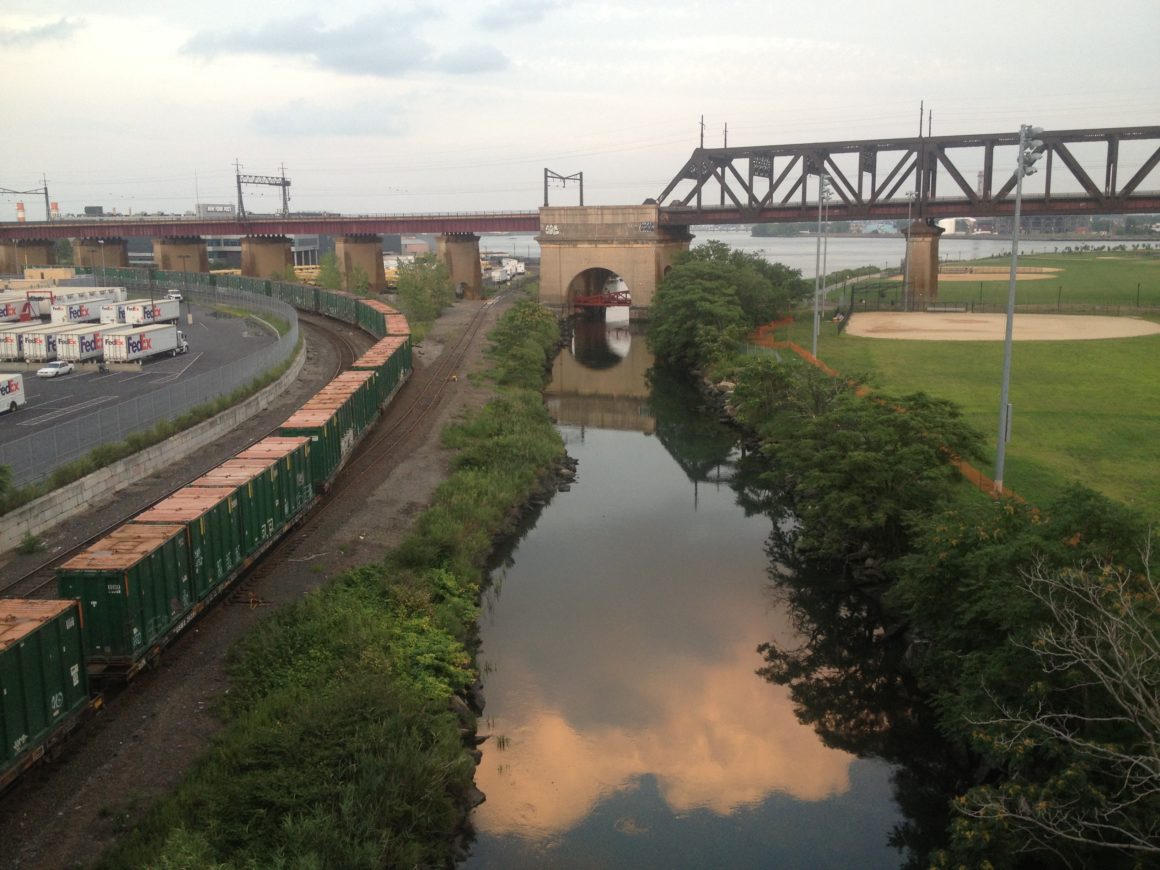
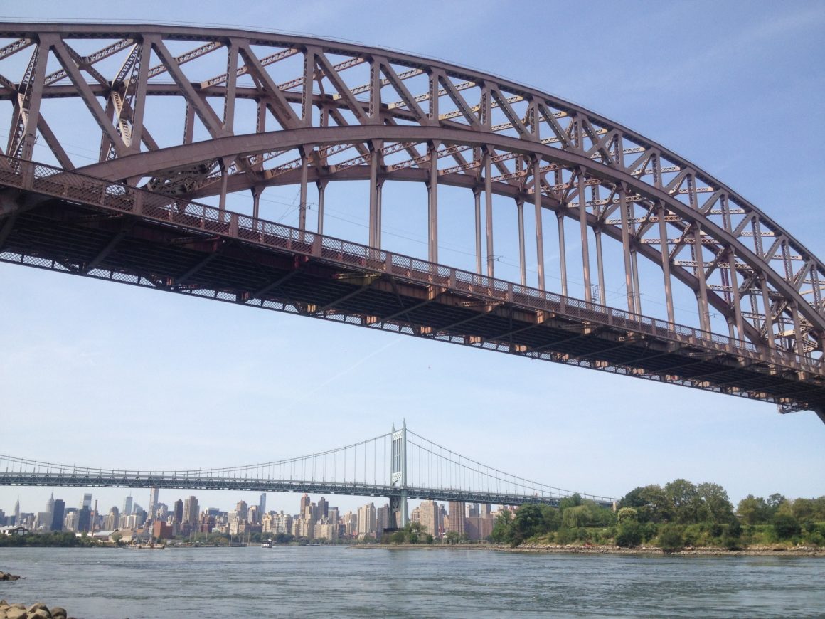
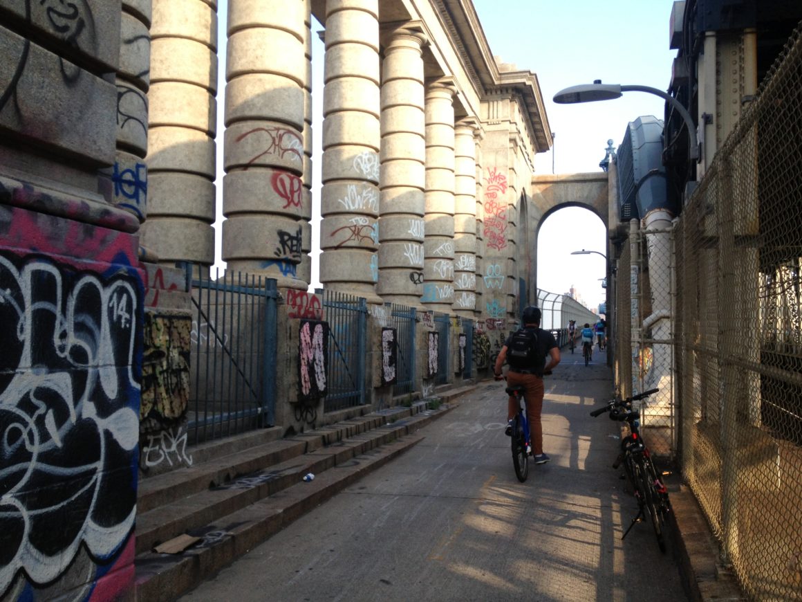
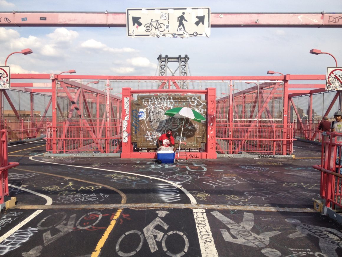
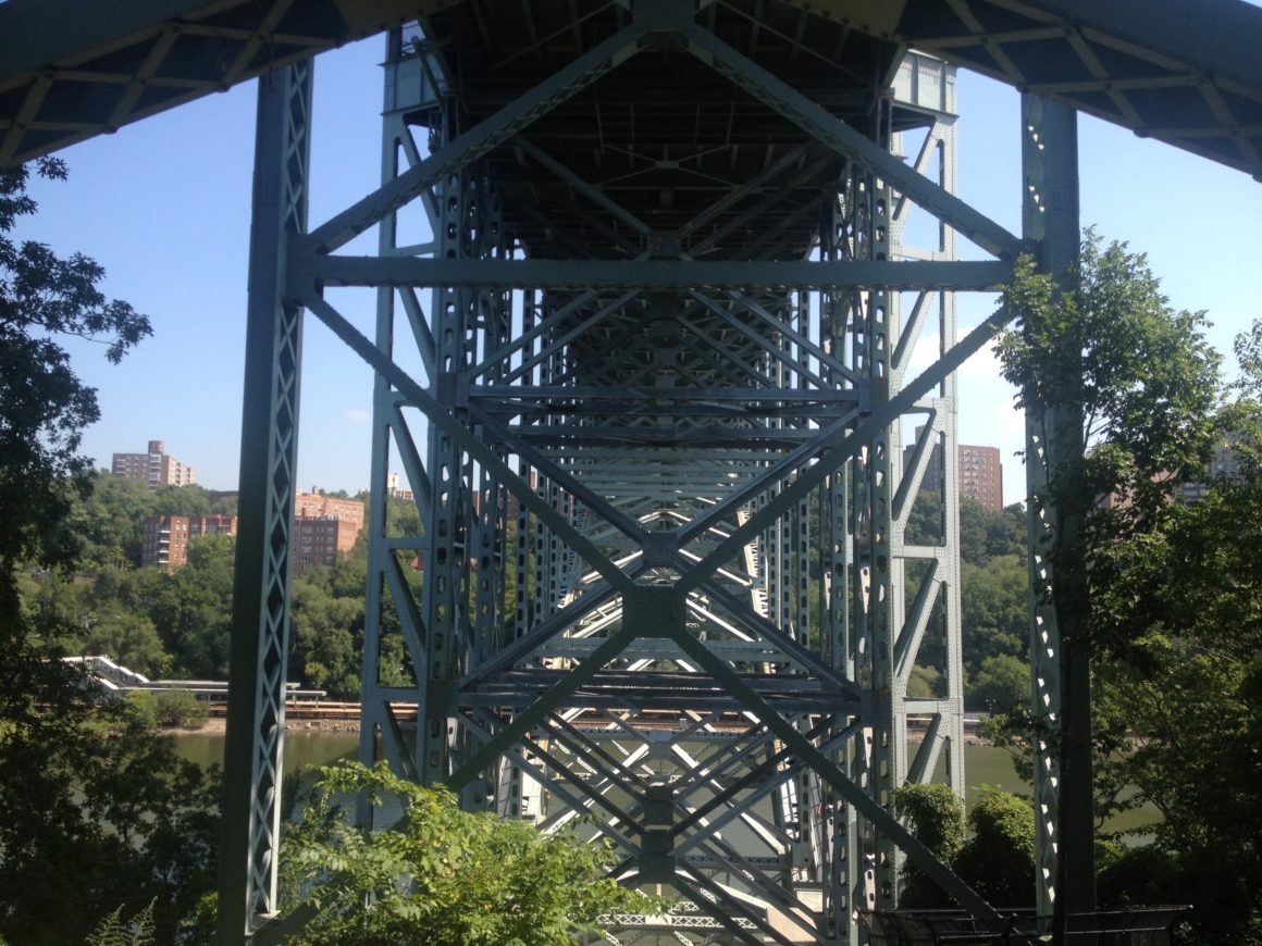
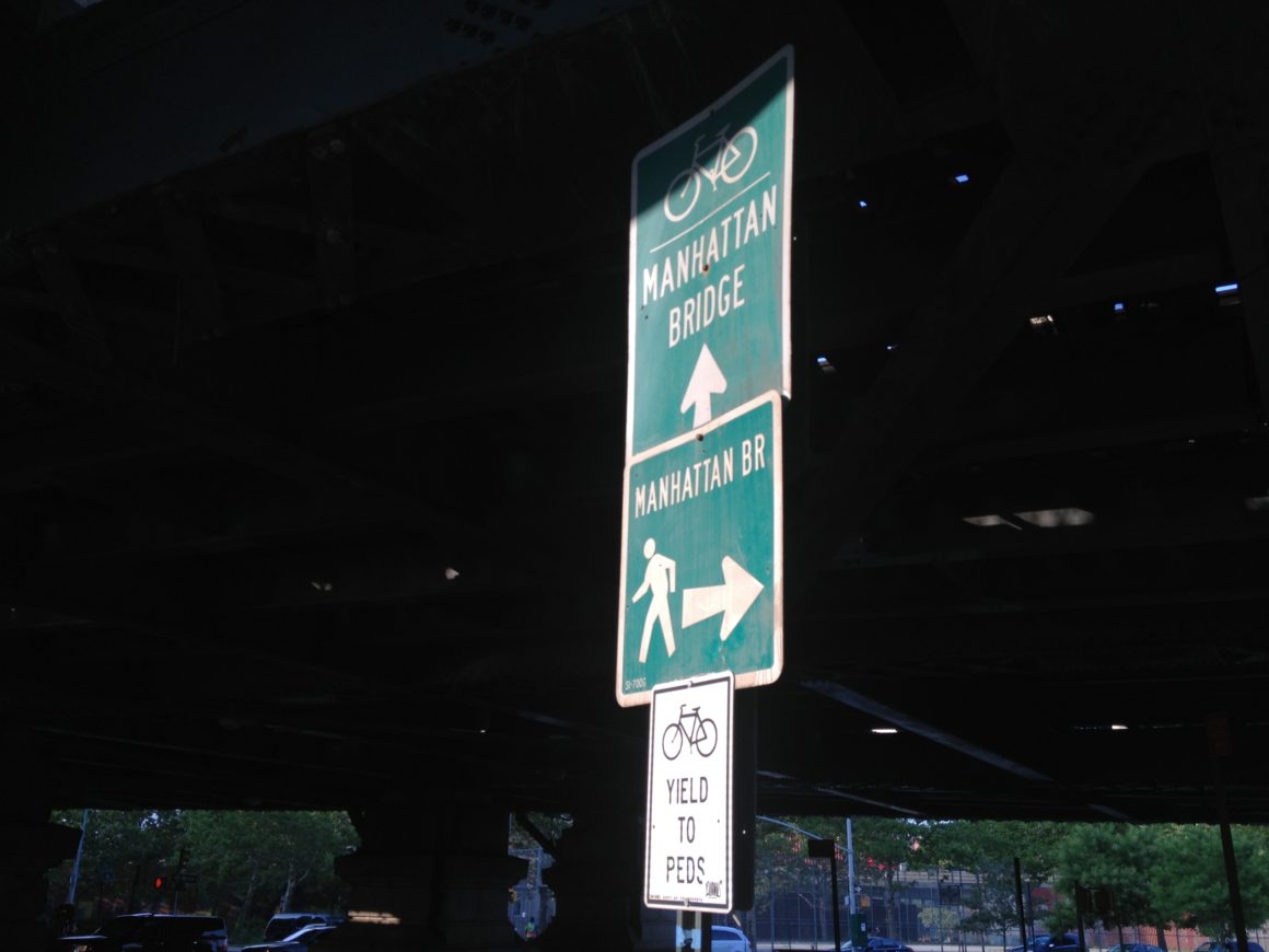
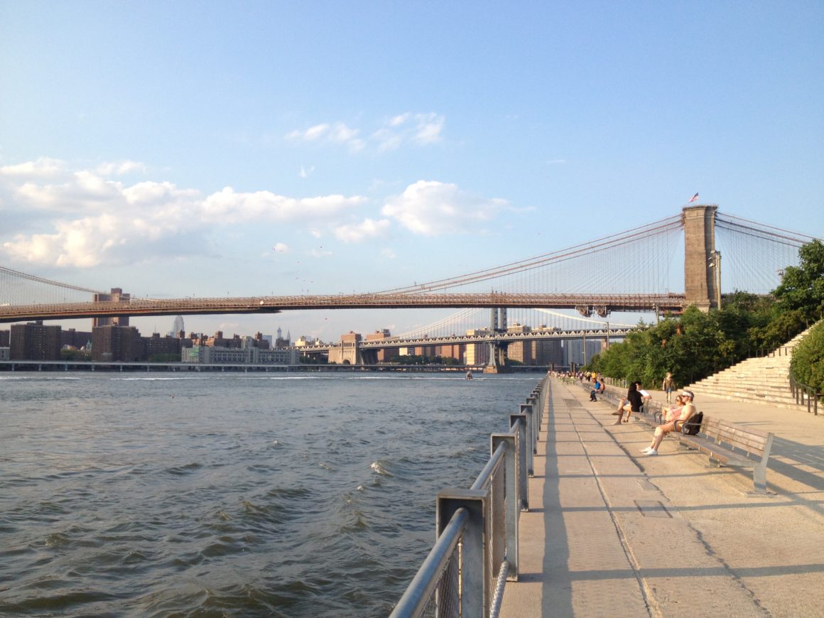
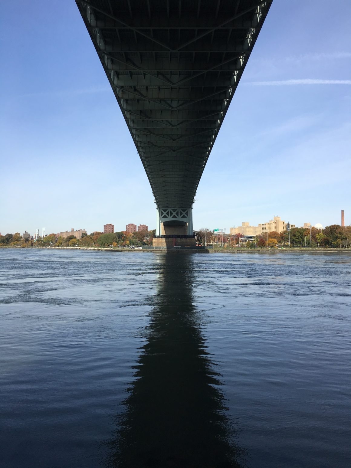
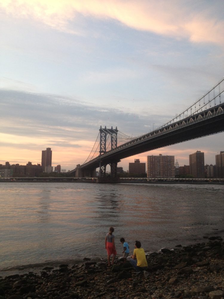
Biking Every Bridge in NYC
In New York City, I explored the boundaries between boroughs, traversing every bridge between Manhattan and its neighbors to explore how these spectacular structures simultaneously attach and detach different parts of the city. What amazed me was the way in which these infrastructures have become intertwined with the social life of the city. Rather than mono-functional transition zones between neighborhoods, these bridges are vibrant public spaces, from the hordes of tourists flocking across the Brooklyn Bridge, to the joggers and cyclists running laps along the GW, to the seemingly endless array of comedy routines, photo shoots and concerts along the Williamsburg Bridge.
All photos by Adam Tanaka.
Visit the Periphery page for more information.